BRAT model screenshot
The NM BRAT Model is available!
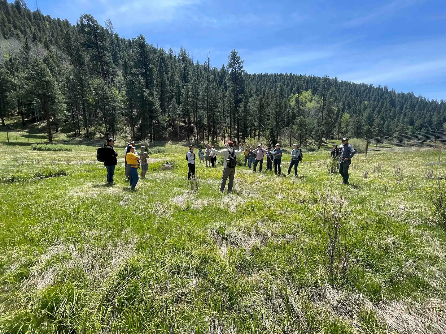
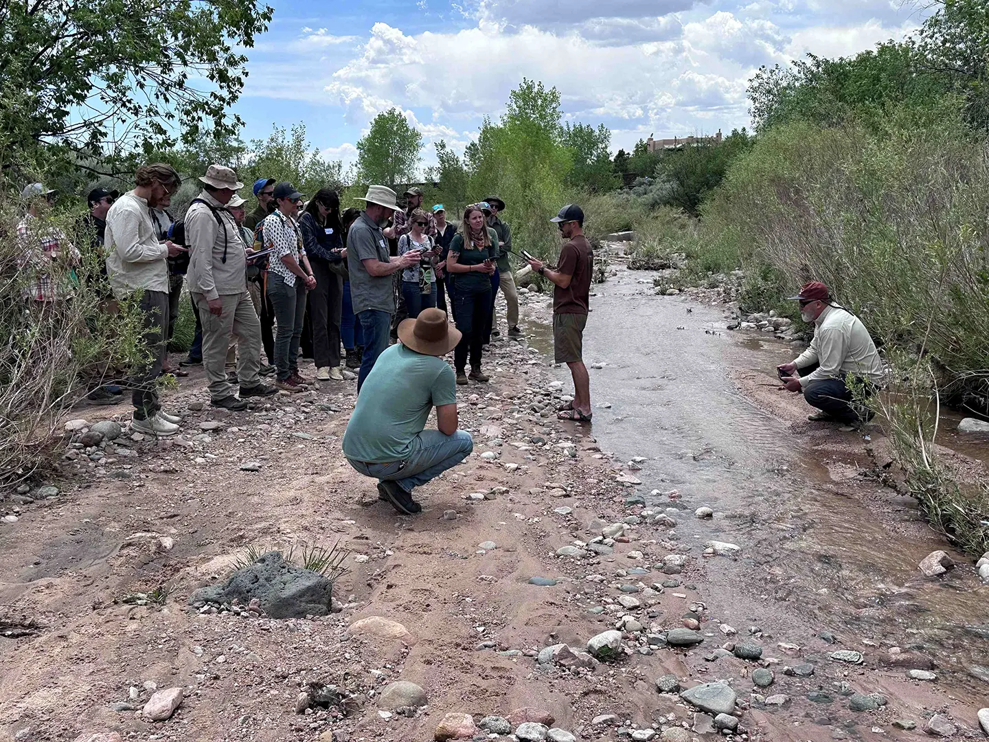
Rio Grande Return contracted with Utah State University to run the Beaver Restoration Assessment Tool (BRAT) model for the entire state of New Mexico. We are pleased to announce the completion and availability of the New Mexico BRAT. This collaborative effort provides our community and partners with the most comprehensive analysis to date of where beaver activity can support riverscape restoration, conservation, or coexistence management across the state.
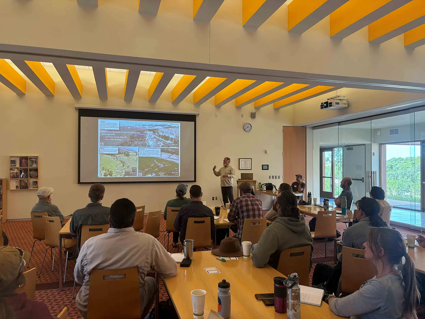
The BRAT model was developed by Utah State University researchers to help better manage expectations about where beaver might be useful in riverscape restoration (Macfarlane et al. 2015). The BRAT is a spatially explicit network model that provides decision support for beaver assisted restoration and serves as a planning tool for resource managers, restoration practitioners, wildlife biologists, and researchers better manage expectations. Specifically, the model predicts where along streams and rivers beaver may be useful as a restoration tool and where they may be a nuisance, in which case their impacts can be mitigated or the nuisance beaver can serve as a source population for live-trapping and relocation to areas where they can help achieve restoration and conservation objectives.
Key Results and Deliverables
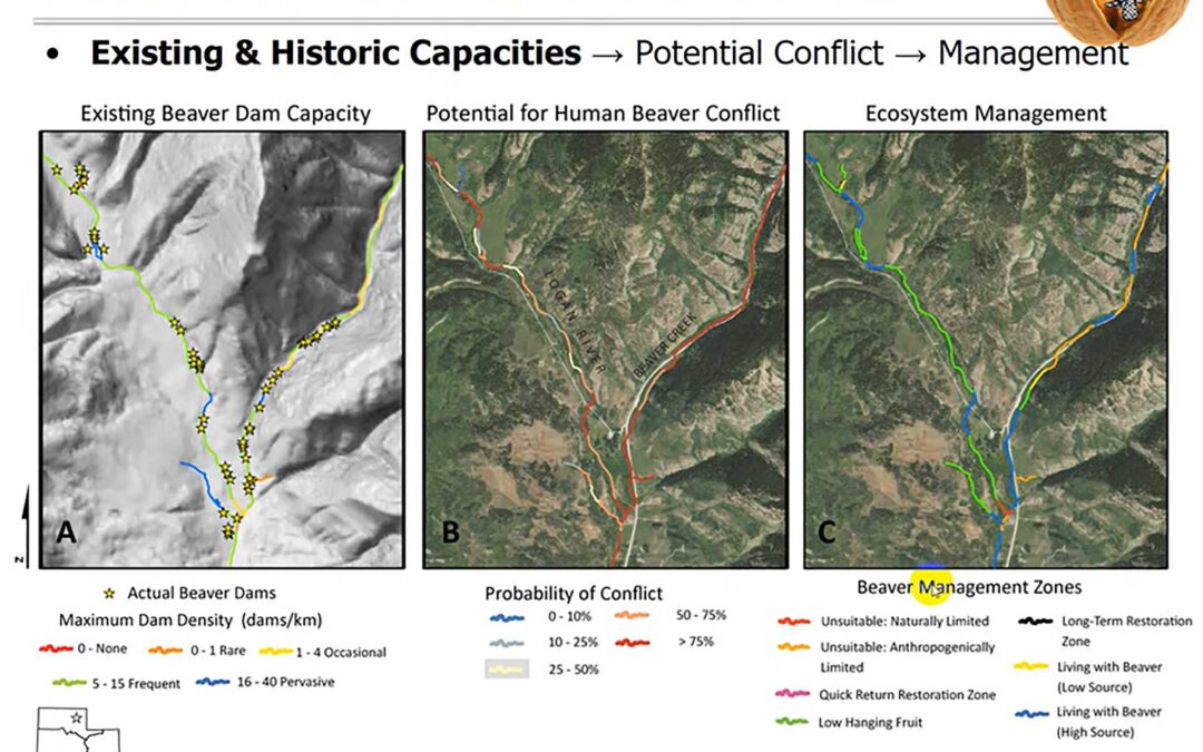
The BRAT model evaluated 21,103 km of perennial streams to estimate beaver dam capacity, human-beaver conflict risk, and priority reaches for restoration and conservation.
Statewide, New Mexico’s waterways currently have a capacity for approximately 155,941 beaver dams (4.5 dams/km), compared to a historic capacity of 206,358 dams (7.4 dams/km), reflecting a loss of 24% primarily due to stream incision, vegetation decline, and land-use change.
Despite these reductions, northern and mountainous ecoregions still offer substantial low-conflict opportunities for beaver-based restoration, with 57% of stream network areas posing negligible risk to infrastructure. Only 12% are categorized as considerable or some risk, increasing to 32% when acequias are included.
The BRAT analysis highlights specific streams and regions best suited for conservation, potential translocation, beaver expansion, and process-based restoration—including areas needing land management change or beaver mimicry prior to restoration readiness.
The BRAT models estimates of beaver dam capacity come from seven lines of evidence: (1) a reliable water source (2) stream bank vegetation conducive to foraging and dam building; (3) vegetation within 100 m of edge of stream to support expansion of dam complexes and maintain large beaver colonies; (4) likelihood that dams could be built across the channel during low flows; (5) the likelihood that a beaver dam on a river or stream is capable of withstanding typical floods; (6) evidence of suitable stream gradient; and (7) evidence that river is too large to allow dams to be built and to persist.
The final report and project data provide spatial decision-support for beaver-related restoration work, identifying both high-priority opportunities and areas where proactive risk management may be needed. You can access the final report at this link: NEW MEXICO BEAVER RESTORATION ASSESSMENT TOOL.
How To Access The Data
All BRAT model outputs—including GIS data, summary reports, and management layers—are available to NM Beaver Coalition members on the Riverscapes Data Exchange, which enables interactive viewing and downloads for further planning. You can request membership and access projects at (data.riverscapes.net), with a user profile required for private project access. The entire state-level BRAT project as well as individual watershed projects are available for your review.
The Riverscapes projects associated with this project can be retrieved from the Riverscapes Data Exchange (https://data.riverscapes.net).
The final BRAT project that encompasses the entire state of New Mexico can be found here: https://data.riverscapes.net/p/d74c8d3d-ca3a-4fd7-922c-41bc1e8d3875/ . The project can be viewed in the Web GIS integrated in the data exchange or downloaded to interact with via desktop GIS (e.g., ArcPro, QGIS).
The statewide project is generated from all of the individual HUC10-scale projects across New Mexico which can be found in thiscollection: https://data.riverscapes.net/c/8383aab1-8aad-4fdd-9c74-27e9c1b1baef/.
Next Steps
We encourage NM Beaver Coalition members to use these results for:
- Regional and watershed planning
- Restoration prioritization and design (including beaver dam analog placement and riparian revegetation)
- Infrastructure conflict management and expectation setting
- Monitoring and adaptive strategies for ongoing projects
We look forward to ongoing collaboration as we turn this valuable information into effective conservation and restoration actions across New Mexico’s riverscapes.
References
Macfarlane W.W. , Wheaton J.M., Bouwes N., Jensen M., Gilbert J.T., Hough-Snee N., and Shivick J. 2015. Modeling the capacity of riverscapes to support beaver dams. Geomorphology. DOI: http://dx.doi.org/10.1016/j.geomorph.2015.11.019.